
My work in simulation ignited a long-standing fascination with Geographic Information Systems (GIS). The need to create a “God’s Eye View” of simulations led me into the world of maps, spatial data, and the underlying technologies that bring them to life. GIS, with its power to handle large volumes of geospatial data, has proven to be an invaluable tool throughout my career.
In the closed environment of simulation labs, where direct internet access was often restricted, I learned to become self-sufficient in providing map data. This involved:
- Sourcing satellite and map imagery from government sources such as the USGS and FAA
- Mastering tools like GDAL and QGIS to transform this raw data into usable tile formats
- Developing custom orthorectifying and tiling routines for map data
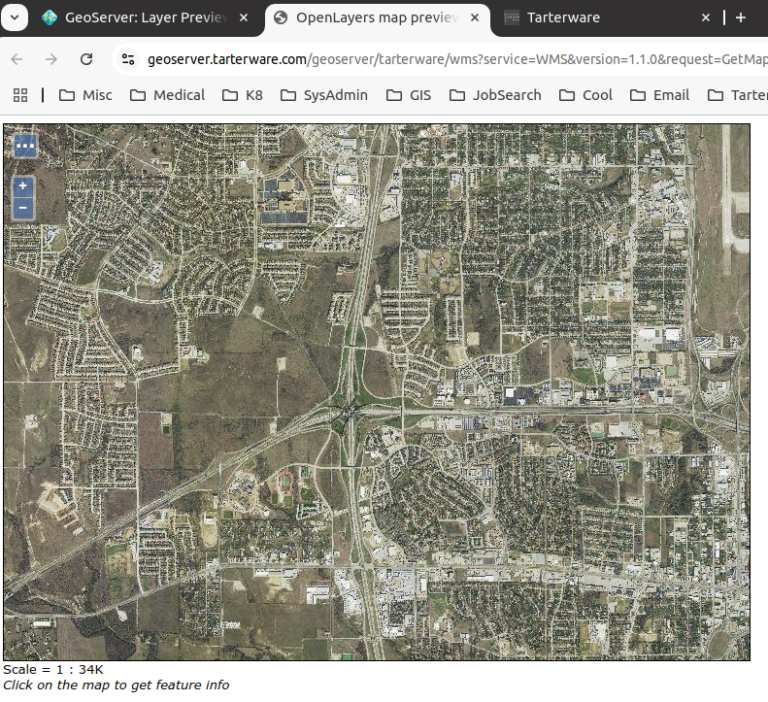
- Setting up and maintaining Geoserver instances to deliver this map data effectively within the simulation environment. This included configuring and troubleshooting GeoServer, and developing procedures for installing GeoServer on various systems.
- Creating map overlays using OpenMap
- Integrating various map sources including OpenStreetMap and custom maps for specific projects.
- Creating custom map layers, such as sectional chart layers.
Outside the realm of simulation, I translated track coordinates and defined geofence volumes, using libraries like Java Topology Suite and Proj4j for complex spatial calculations.
These experiences have given me a deep understanding of GIS technologies and how to effectively use them in complex simulation environments.